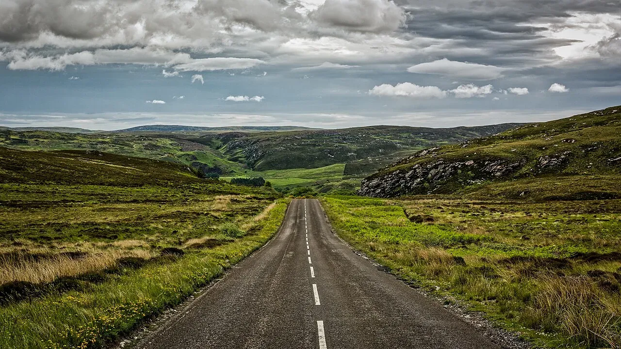
Scottish Highlands / United Kingdom
Scotland North Coast 500
A compact Highlands circuit whose single-track roads, passing places, limited parking, and village rhythm reward patience over speed.
Route family
Assess gravel, single-track etiquette, fuel range, ferry timing, signal gaps, and realistic fallback plans.
Start with two routesWhat defines this drive
Are your vehicle, schedule, and confidence ready for long gaps between fuel, help, or a reliable signal?
Assess gravel, single-track etiquette, fuel range, ferry timing, signal gaps, and realistic fallback plans.
Start here
These are not universal winners. Together they show the range of pace, access, and confidence inside this route family.
Scottish Highlands / United Kingdom
A compact Highlands circuit whose single-track roads, passing places, limited parking, and village rhythm reward patience over speed.
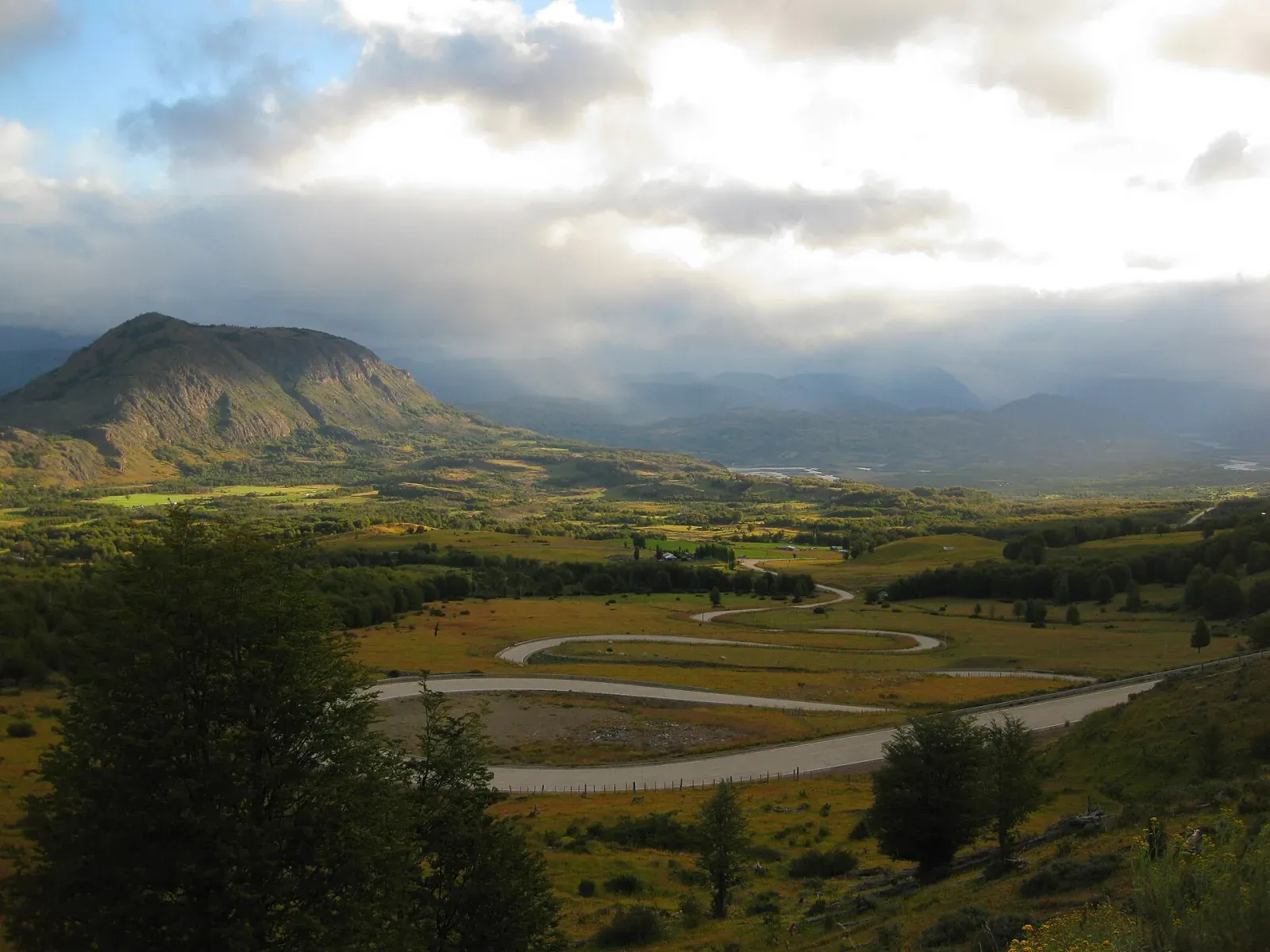
Northern Patagonia / Chile
A Patagonian road trip where gravel, ferries, rain, fuel spacing, and limited services make a flexible schedule part of the route itself.
Comparison matrix
Distance alone does not predict effort. Read it alongside surface, driving side, realistic time, and seasonal access.
| Decision | Scotland North Coast 500 | Chile's Carretera Austral: Puerto Montt to Balmaceda | Iceland Ring Road: The Complete Route 1 Loop | Canadian Rockies: Banff to Jasper via the Icefields Parkway |
|---|---|---|---|---|
| Realistic time | 7-10 days | 10-14 days | 10-14 days | 5-7 days |
| Distance | Approx. 830 km | Approx. 1,050 km | Approx. 1,320 km | Approx. 290 km |
| Driving side | Left | Right | Right | Right |
| Difficulty | Demanding | Demanding | Moderate | Moderate |
| Best window | May-September | December-March | May-September | June-September |
| Surface | Paved; substantial single-track sections | Mixed pavement and gravel with ferry crossings | Route 1 paved; optional side roads vary | Paved mountain highway with seasonal conditions |
Driving reality
A conservative fuel plan matters more than the vehicle's advertised range.
Gravel, washboard, and single-track roads reduce average speed sharply.
Offline navigation and a written fallback make signal gaps manageable.
Primary routes
These routes use remote & rugged roads as their main planning lens.
Scottish Highlands / United Kingdom
A compact Highlands circuit whose single-track roads, passing places, limited parking, and village rhythm reward patience over speed.
Northern Patagonia / Chile
A Patagonian road trip where gravel, ferries, rain, fuel spacing, and limited services make a flexible schedule part of the route itself.
Related routes
These roads belong elsewhere first, but share a meaningful planning condition with this hub.
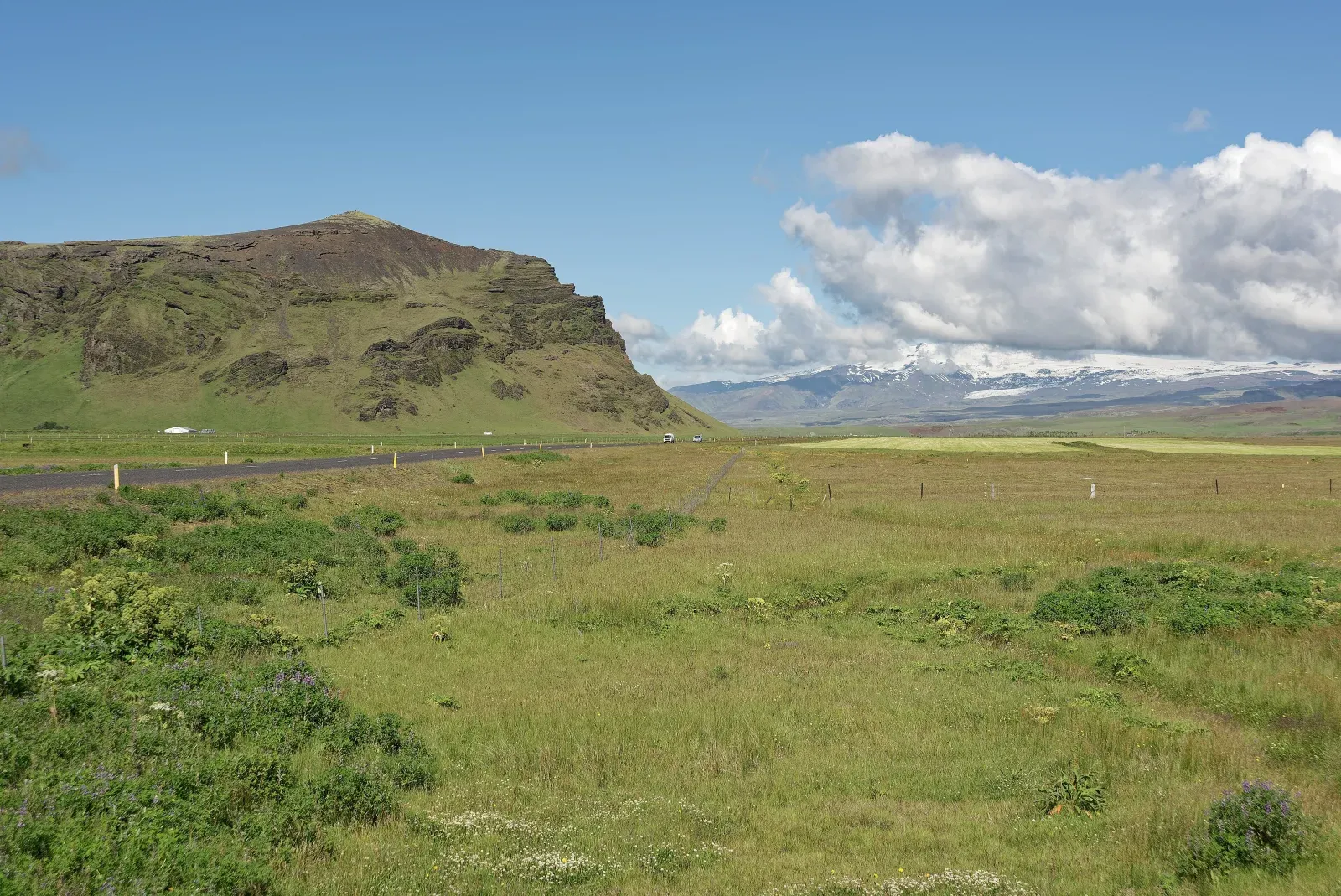
Iceland
A full-island circuit shaped by fast weather changes, long summer light, winter constraints, and the temptation to add too many side roads.
Why it also fits: Fast weather shifts, sparse services beyond larger towns, and optional side roads make contingency planning essential.
See the island loops comparison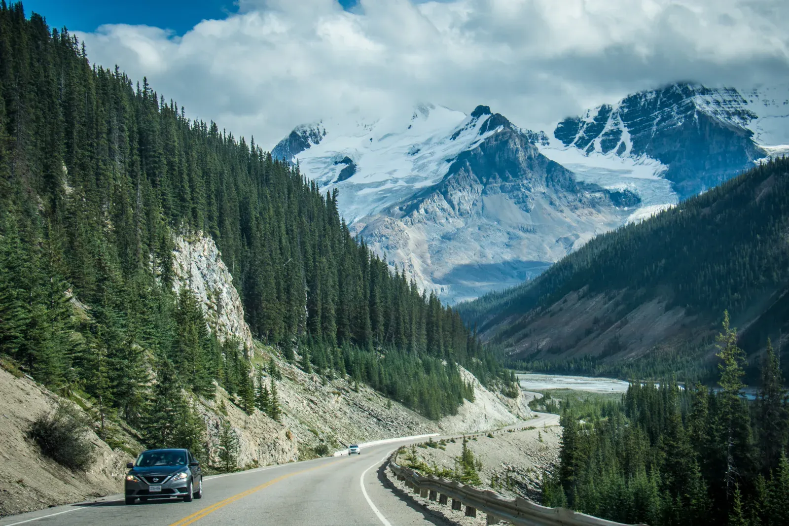
Alberta / Canada
A short mountain corridor that needs several days once trailheads, wildlife, limited services, and the pull of every glacier viewpoint are counted.
Why it also fits: Long service gaps, wildlife disruptions, limited mobile coverage, and few fallback roads require a remote-road mindset.
See the mountain parks comparisonSeason matrix
Use these broad windows to narrow the trip, then verify every road, ferry, permit, and forecast close to departure.
Most services open
Demand concentrates into a short booking window.
More space
Ferries and lodging may run reduced schedules.
Often unsuitable
Treat access as route-specific, not assumed.
Related planning
Confirm vehicle permissions, insurance exclusions, fuel range, local driving rules, and realistic daylight before locking accommodation into a fixed sequence.
Review the rental checks