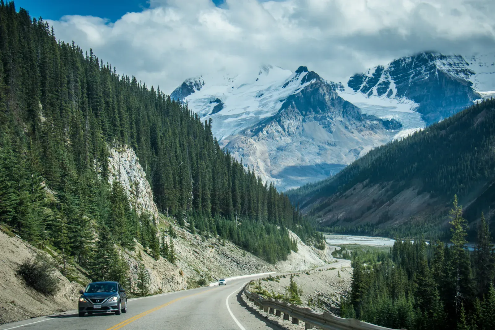
Alberta / Canada
Canadian Rockies: Banff to Jasper via the Icefields Parkway
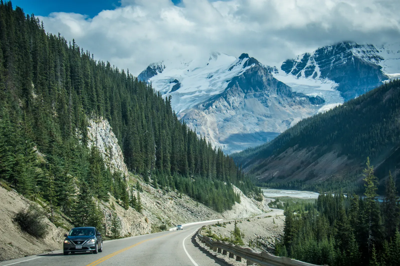
A short mountain corridor that needs several days once trailheads, wildlife, limited services, and the pull of every glacier viewpoint are counted.
Route family
Balance high passes and national-park scenery against permits, wildlife, seasonal access, and time on foot.
Start with two routesWhat defines this drive
How much of each day should be driving, and how much should remain for trails, viewpoints, and wildlife-safe stops?
Balance high passes and national-park scenery against permits, wildlife, seasonal access, and time on foot.
Start here
These are not universal winners. Together they show the range of pace, access, and confidence inside this route family.
Alberta / Canada
A short mountain corridor that needs several days once trailheads, wildlife, limited services, and the pull of every glacier viewpoint are counted.
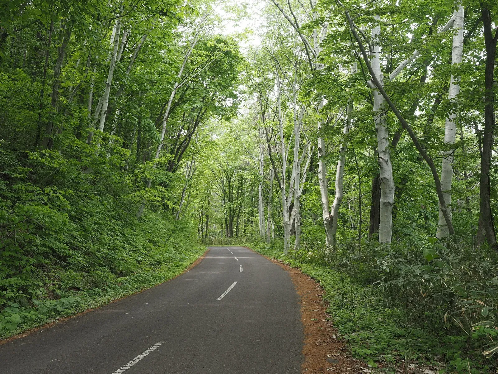
Hokkaido / Japan
A spacious northern-Japan loop connecting farm country, caldera lakes, coastal wetlands, and mountain passes over genuinely long distances.
Comparison matrix
Distance alone does not predict effort. Read it alongside surface, driving side, realistic time, and seasonal access.
| Decision | Hokkaido Scenic Loop: Sapporo, Furano and Eastern Hokkaido | Canadian Rockies: Banff to Jasper via the Icefields Parkway | New Zealand South Island Grand Loop | Chile's Carretera Austral: Puerto Montt to Balmaceda |
|---|---|---|---|---|
| Realistic time | 10-14 days | 5-7 days | 14-21 days | 10-14 days |
| Distance | Approx. 1,600 km | Approx. 290 km | Approx. 2,500 km | Approx. 1,050 km |
| Driving side | Left | Right | Left | Right |
| Difficulty | Moderate | Moderate | Moderate | Demanding |
| Best window | June-October | June-September | November-April | December-March |
| Surface | Paved roads with seasonal mountain passes | Paved mountain highway with seasonal conditions | Paved highways; optional gravel approaches | Mixed pavement and gravel with ferry crossings |
Driving reality
The map rarely accounts for trail time, wildlife traffic, or full parking areas.
Passes can move from dry to winter conditions within the same day.
Park entry, timed access, and vehicle restrictions must be checked before arrival.
Primary routes
These routes use mountain & park roads as their main planning lens.
Hokkaido / Japan
A spacious northern-Japan loop connecting farm country, caldera lakes, coastal wetlands, and mountain passes over genuinely long distances.
Alberta / Canada
A short mountain corridor that needs several days once trailheads, wildlife, limited services, and the pull of every glacier viewpoint are counted.
Related routes
These roads belong elsewhere first, but share a meaningful planning condition with this hub.
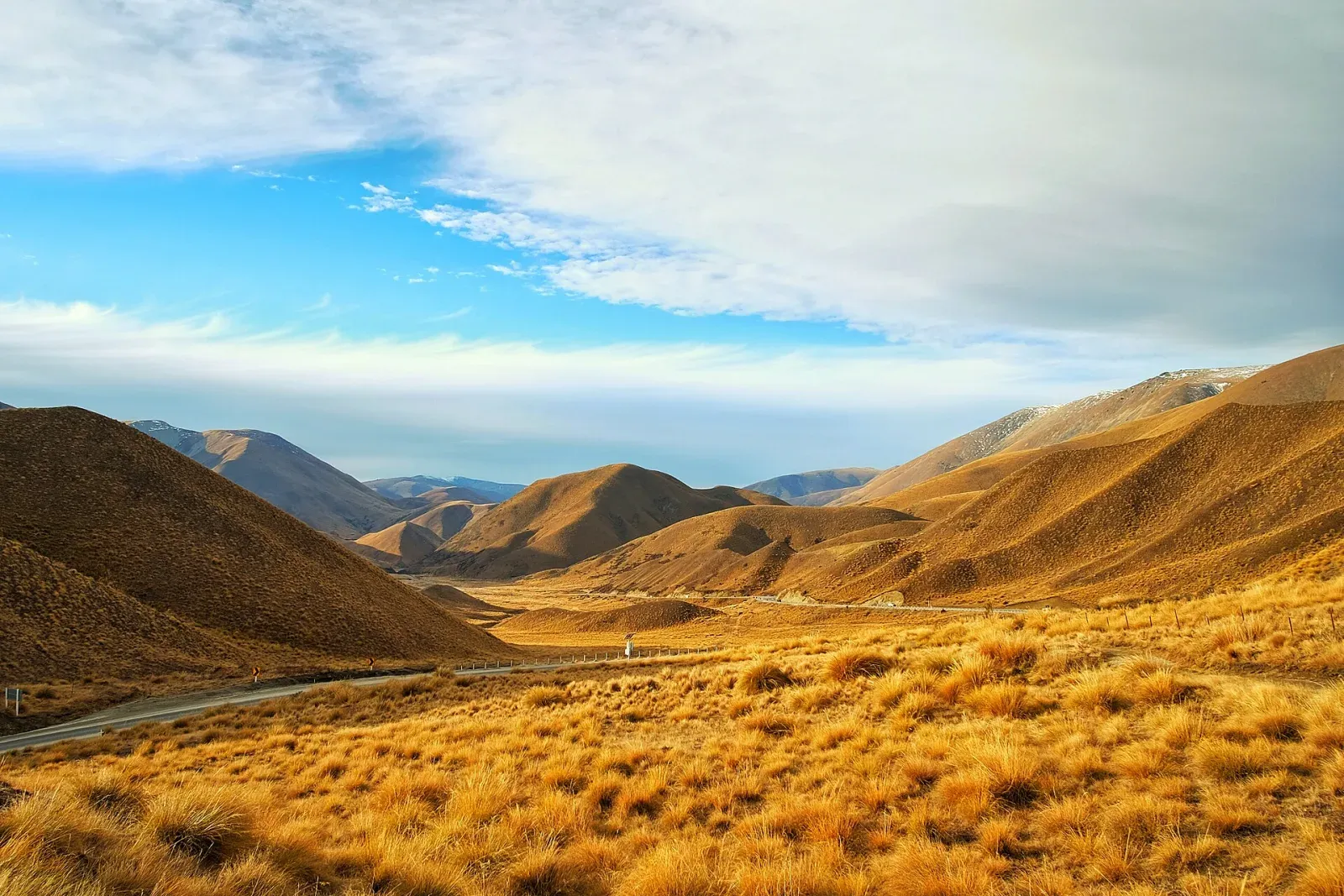
South Island / New Zealand
A high-reward circuit where ferries, alpine passes, one-lane bridges, weather, and frequent scenic stops make conservative daily distances worthwhile.
Why it also fits: Alpine passes, national parks, trail stops, and fast-changing mountain weather shape much of the South Island circuit.
See the island loops comparison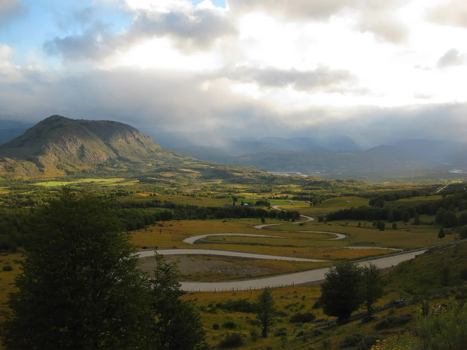
Northern Patagonia / Chile
A Patagonian road trip where gravel, ferries, rain, fuel spacing, and limited services make a flexible schedule part of the route itself.
Why it also fits: Mountain passes, glacial landscapes, trail access, and seasonal weather make park-road planning central to the journey.
See the remote roads comparisonSeason matrix
Use these broad windows to narrow the trip, then verify every road, ferry, permit, and forecast close to departure.
Waterfalls and quieter roads
Higher trails and passes may remain snowy.
Broadest access
Parking pressure is usually highest.
Cool, clear days
Services and daylight begin to contract.
Related planning
Confirm vehicle permissions, insurance exclusions, fuel range, local driving rules, and realistic daylight before locking accommodation into a fixed sequence.
Review the rental checks